-
Get started with wayfinding
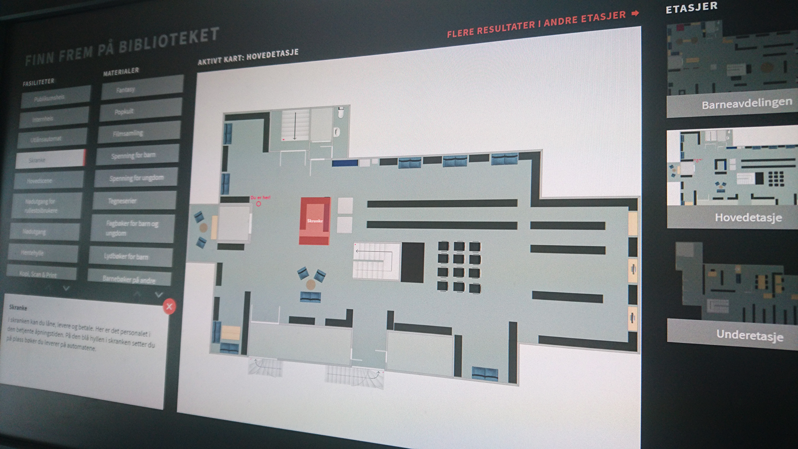
The wayfinding widget is used to help patrons navigate the library, showing the location of facilities and materials.
Articles can also be attached to give more information, and can include images of the location.
The wayfinding module supports:
- Multiple maps for different floors or buildings
- Three different location marker types (pins, rectangles and multi-sided areas)
- Categories (tags) containing multiple locations. Categories are divided into either Materials or Facilities
- Category descriptions and optional article attachment to locations
- Styling in preferred colors and backgrounds
To create a wayfinding widget for your uniFi+activ or activ directed you must complete several steps.
-
1.
Setting up wayfinding
In the Wayfinding section:
- Upload map image(s) under the Map -tab
- Create the categories under Tags e.g. Toilets, Information, Novels, Magazines
- Draw the locations under Maps -> Edit locations
For a location you choose one or more tags
-
2.
The wayfinding widget
In the Widgets section:
- Create new widget of the wayfinding type
- Write a Title under Content and set optional background styling under Design
- Attach the widget to an existing screen or collection Content
-
3.
Preview wayfinding
In the Screens section:
- If not already added from the widget section itself, add the wayfinding widget to any +activ screen by clicking the
 in the content column of the screen list. This will open the content picker and here you select the wayfinding widget under the widget tab.
 - Optionally: Change the location color by clicking the screen name and choose a new Wayfinding location color under Design
- Preview the result by clicking
 next to you chosen screen
Read the fully detailed manual here
- If not already added from the widget section itself, add the wayfinding widget to any +activ screen by clicking the
-
1190
-
Manual

-
Quick Guides

-
Communication guidelines

-
Detailed Tool Tips

